Map Illustration Spanish
21 images
Description
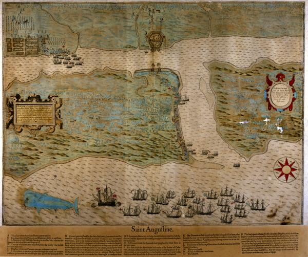
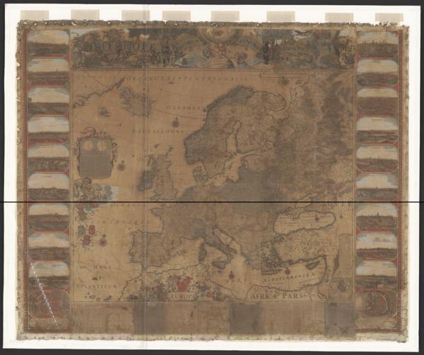
La cartographie espagnole des XVIe au XVIIIe siècle déploie un univers visuel où la géographie s'entrelace avec l'imagination. Ces représentations du monde
Imágenes
21 images
La cartographie espagnole des XVIe au XVIIIe siècle déploie un univers visuel où la géographie s'entrelace avec l'imagination. Ces représentations du monde
Usamos cookies de Google Analytics para entender cómo se usa el sitio. Puedes aceptarlas o rechazarlas. Más detalles en nuestra política de privacidad.