Map Illustration Spanish
Description
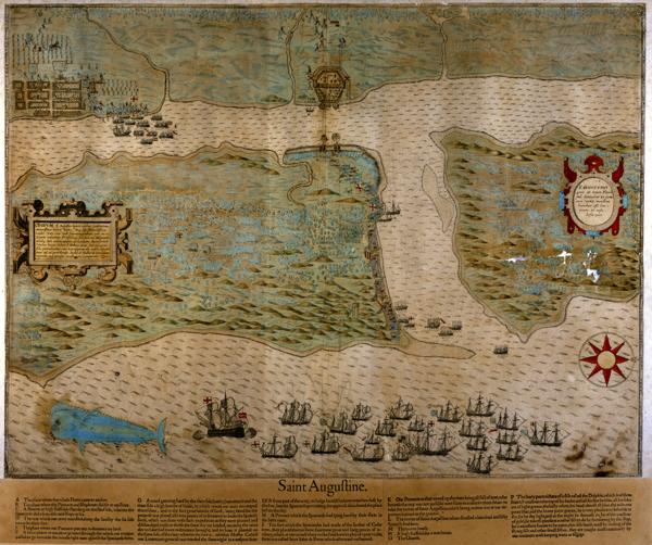
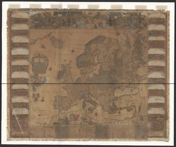
Spanish cartography from the 16th to 18th centuries unfolds a visual universe where geography intertwines with imagination. These representations of the Ibero-American world and its confines reveal the vision of an empire, its routes and territories, adorned with figures and symbols that narrate its expansion.
Imágenes