Lineas De Latitud Y Longitud
Description
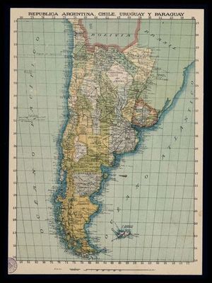
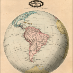
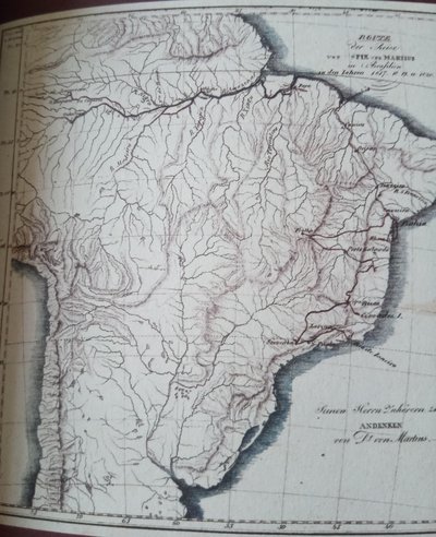
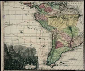
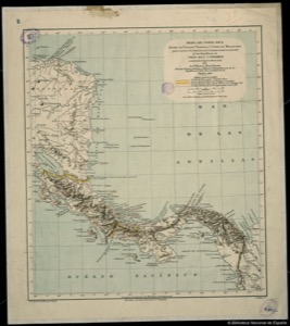
Ibero-American cartography from the 16th to 19th century traces the invisible grid that organizes the world. These lines of latitude and longitude reveal the ambition to measure, possess, and navigate, shaping the vision of the territory.
Imágenes
![Descripcion Geografrica [sic] que comprehende parte de la costa del Seno Mexicano desde punta delgada al S.E. Hasta la barra y Rio de Goazacoalco, Ysmo de Teguantepeque, hasta el Mar del Sud, comprehendidos entre los paralelos o latitudes Septemtrionales, desde 15° hasta 20, y los Meridianos o longitudes de Tenerife de 278° y — Corral](/static/gallery/cartografia-america/thumb/cartografia-america_bne_0000150066_corral_descripcion_geografrica_sic_que_comprehende_parte_de_la_co_19c719ddf715a52c.jpg)