Junkers Luftbild Zentrale

Description

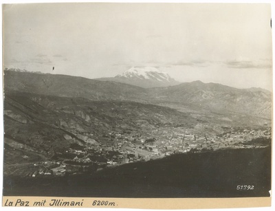
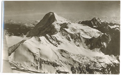
The aerial gaze of Junkers Luftbild-Zentrale maps the physiognomy of Ibero-America in the 20th century. A pioneering record revealing territorial transformation, urban expansion, and the footprint of modernity from a zenithal perspective.

Imágenes

Illimani von Nordwesten — Junkers Luftbild-Zentrale (Production) (Atelier) Chuquiaguillo-Tal nordöstlich von la Paz — Junkers Luftbild-Zentrale (Production) (Atelier) Der Huayna Potosí — Junkers Luftbild-Zentrale (Production) (Atelier) Illimani — Junkers Luftbild-Zentrale (Production) (Atelier) La Paz mit Illimani — Junkers Luftbild-Zentrale (Production) (Atelier) Der Huayna Potosí — Junkers Luftbild-Zentrale (Production) (Atelier)
Cargando...