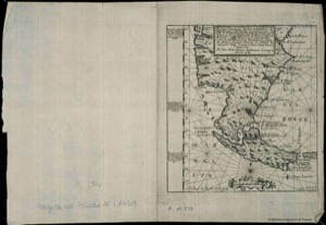
Historical map of South America and the Caribbean
Artista: Texeira
Siglo XVII · América
Colección: Cartografía histórica
Map of the Straits of Magellan and S. Vicente, by Texeira for the Códice Ramírez. Details coasts and seas, part of an expedition from 1618-1619.
barcos ceniza-de-volcan cobre-de-chuquicamata grabado humo-de-paramo lineas-de-latitud-y-longitud mapa mapa-cartografico