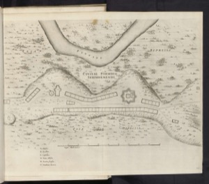
European Images 015 Floor plan of Serinhaém ca. 1637
Artista: Cartógrafo anónimo (siglo XVII)
Siglo XVI · Europa
Colección: Cartógrafo anónimo (siglo XVII)
Plan of the fortified city of Serinhaem, circa 1637. The engraving details fortifications, urban structures, and geographical features like the Pluvius river.
arte-europeo cartografia-colonial fortificaciones mapa-militar siglo-xvii