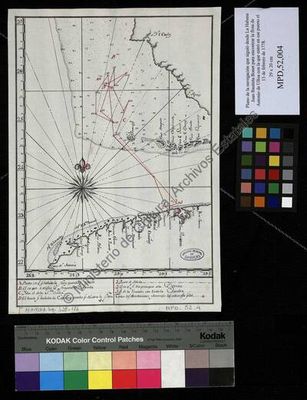
Plan of the navigation followed from Havana by Juan Bautista Boot to find Anto's fleet
Artista: Anónimo
Siglo XVII · Cuba
Colección: Museos digitales
Anonymous 17th-century navigation chart detailing Juan Bautista Boot's route from Havana to find Antonio de Ulloa's fleet. It includes geographical points and hazards, reflecting the cartography and naval strategy of the era.
anotaciones-marginales anotaciones-textuales cartografia cuadricula-cartografica cuba historia humo-de-paramo lineas-de-costa