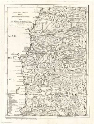
Map of a part of Chile, comprising the Territory of Indians, and the Lands of Spaniards and Arau
Artista: Anónimo
Siglo XVII · Chile
Colección: Museos digitales
Anonymous 17th-century map detailing Chilean territory, distinguishing Spanish and Araucanian areas. The engraving, with fine lines, depicts geography, rivers, and settlements, including a legend and scale.
albayalde asentamientos cartografia ceniza-de-volcan chile grabado historia humo-de-paramo