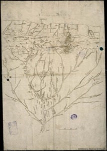
Map of New Spain with roads and rivers
Artista: Anónimo
Siglo XVIII · México
Colección: Cartografía histórica
Anonymous 18th-century map detailing the sources of the Marañón River and Upper Peru. The Andean mountain range extends horizontally at the top, delimiting the river basin.
arena-de-veracruz ceniza-de-volcan cuadricula dibujo humo-de-paramo lineas-de-cuadricula mexico montanas