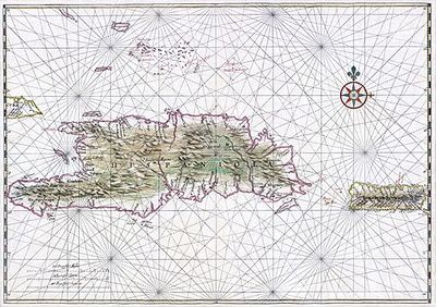
Map of the Island of Saint Domingue
Artista: Anónimo (arte colonial)
Siglo XVI · México
Colección: Museos digitales
Anonymous map from the colonial art of the 16th century. It depicts Hispaniola and Puerto Rico with detailed rhumb lines and shaded topography, typical of portolan charts.
arte-religioso blanco-de-yeso-de-espejuelo cal-blanca humo-de-paramo lineas-de-rumbo nombres-geograficos plata-de-zacatecas rosa-de-los-vientos