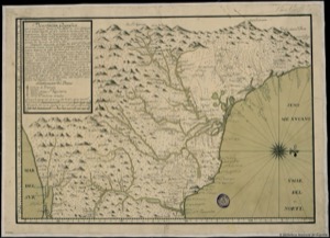
Ancient map of a coastal region with mountains and rivers
Artista: Corral
Siglo XVIII · Perú
Colección: Corral
Map of the coast of the Mexican Gulf and the Isthmus of Tehuantepec, from Punta Delgada to the South Sea. It details the geography between parallels 15° and 20° north latitude.
peru barro-de-oaxaca cartela-con-texto cartografia costa escala-cartografica grabado humo-de-paramo