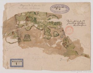
Images extracted from Xolotl Codex 009 300dpi
Artista: Anónimo tlacuilo texcocano (Códice Xólotl)
Siglo XVI · México
Colección: Códice Xolotl
This is a hand-drawn and watercolor-colored map sketch, which appears to represent an island or territory with different areas of vegetation and land formations. The presence of human figures and possible structures suggests a representation of settlements or historical events.
acuarela anotaciones-manuscritas boceto caminos-o-cuerpos-de-agua colonial estructuras-monticulares iberoamerica mapa