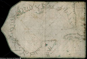
Map of Cádiz Bay and surroundings
Artista: Anónimo
Siglo XVIII · América
Colección: Cartografía histórica
Anonymous 18th-century nautical chart detailing the Gulf of Mexico and coasts between Florida and Belize. Hand-drawn with ink and watercolor, it depicts coastal geography and maritime routes.
espana accidentes-geograficos-costeros barroco cartografia ceniza-de-volcan humo-de-paramo islas lineas-de-costa