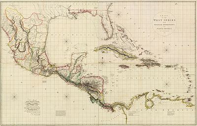
Chart of the West Indies and Spanish Dominions in North America
Artista: John Wyld
Siglo XVII · Países Bajos
Colección: John Wyld
Map of the West Indies and Spanish domains in North America, engraved and hand-colored by John Wyld. It details Caribbean and Central American geography, essential for 18th-century navigation.
arena-de-veracruz cartela-de-titulo cera-de-abeja costa cuadricula-de-coordenadas fronteras-politicas grabado islas