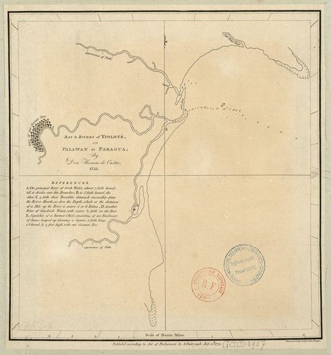
Bay and Rivers of Ypolote Palawan Paragua
Artista: Pedro de los Ríos (coord.)
Siglo XVI · México
Colección: Códice Ríos
Hispano-American colonial map (16th-19th centuries). Historical cartography of the territories of the Spanish Empire in America: New Spain, Peru, the Caribbean, and the Rio de la Plata. Public domain.
cartografia-colonial mapas-antiguos hispanoamerica nueva-espana virreinato siglos-xvi-xviii cartografia-historica america-colonial