Georg Marcgraf (1610–1644)
73 images · 1 books in catalogue
Description
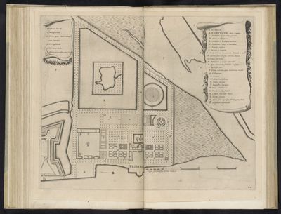
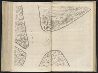
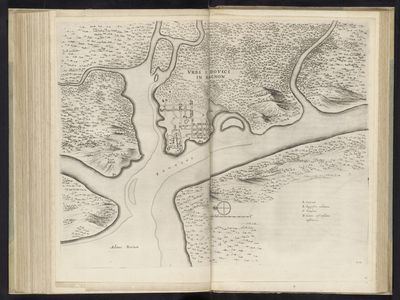
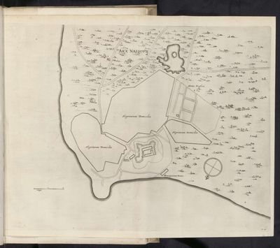
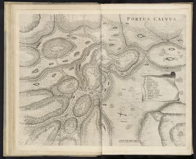
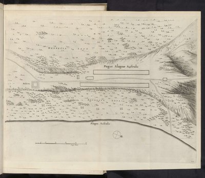
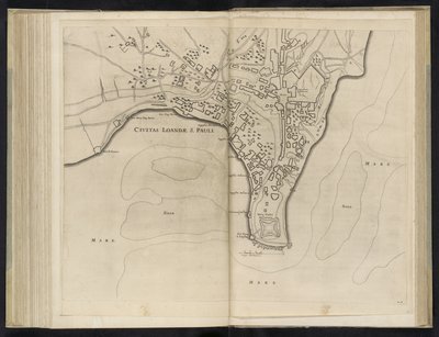
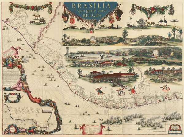
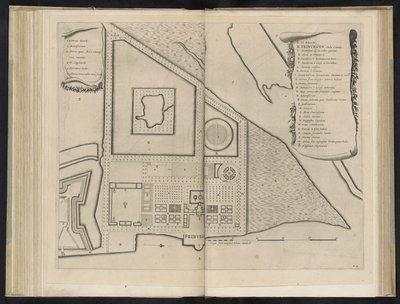
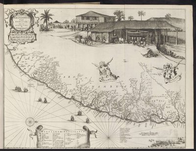
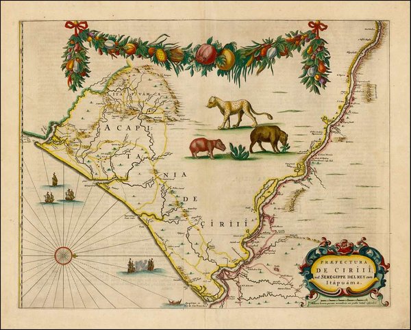
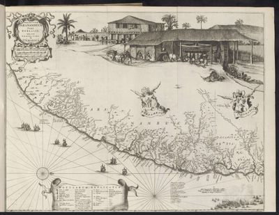
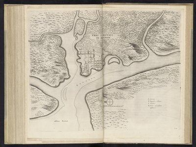
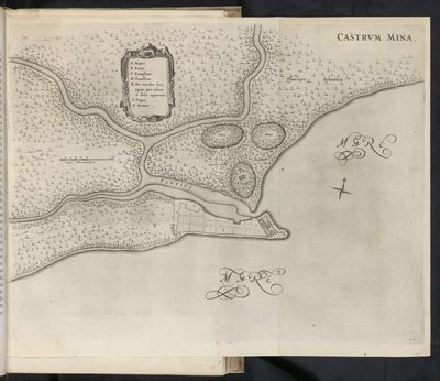
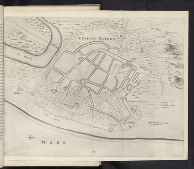
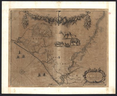
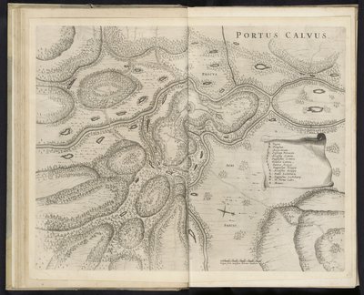
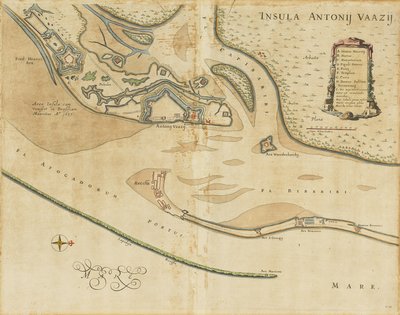
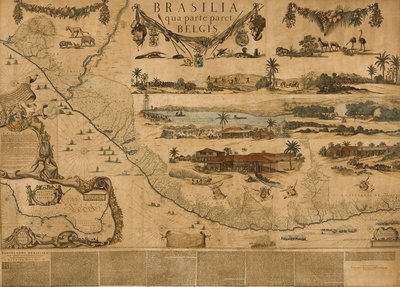
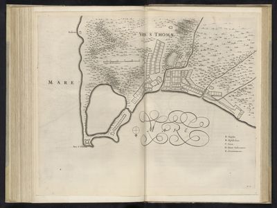
The work of Georg Marcgraf, a German polymath and scholar from the 17th century, offers an invaluable window into the physiognomy of colonial Brazil. As part of Count Johan Maurits of Nassau-Siegen’s scientific expedition, Marcgraf dedicated crucial years of his life to exploring and documenting the Brazilian northeast. His meticulousness as a naturalist, astronomer, and above all, cartographer, materializes in a series of maps and plans that transcended mere topographic function to become true pieces of art and history. Linkgua's Visual Gallery is proud to present 67 images that reveal the magnitude of his legacy. From the detailed Map of the city of Olinda to the strategic Map of the fortress of Arx Nassau and its surroundings, each piece not only charts the territory but also captures the spirit of an era. His representations of 17th-century Brazil, such as the Map of the Prefecture of Pernambuco, Southern Part, are essential documents for understanding the geography, architecture, and life in a vital region of the New World, cementing his place as a pillar in the history of Hispano-American art.
Imágenes