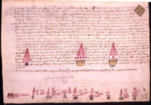
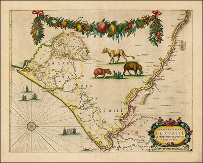
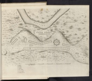
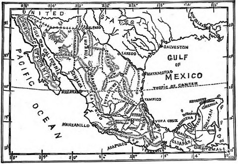
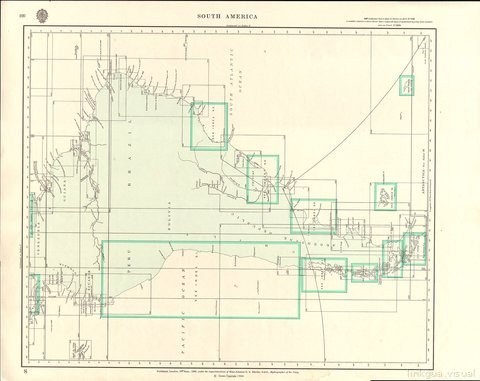
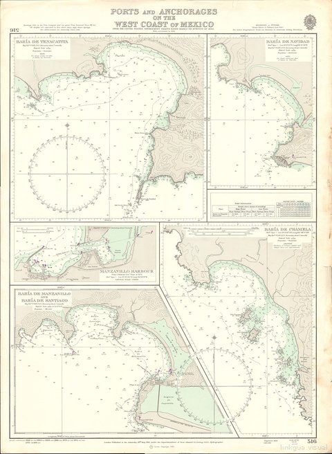
Cartografía Colonial
5 images
Description
Linkgua's Visual gallery proudly presents an exceptional collection dedicated to Colonial Cartography of the 18th century. This visual corpus transcends mere geographical representation, standing as an invaluable testament to imperial expansion and the burgeoning knowledge of the New World. Comprising 177 works originating from Spain and the Americas, this ensemble reveals the sophisticated craftsmanship of cartographers and explorers who, during the Age of Enlightenment, delineated the contours of a vast empire. Far from being solely instruments of navigation or administration, these maps are true works of art, imbued with a detailed aesthetic that blends scientific precision with the political and cultural vision of their era. Through emblematic pieces such as the meticulous "map of Mexico" or the expansive "A General Map of South America," viewers are invited on a journey through the territories Spain explored and administered. Every stroke, every geographical denomination, from an "informe relativo a la exploración del distrito de C..." to "A Map of Caracas", encapsulates the ambition for dominion, the codification of knowledge, and the complex interaction between the metropolis and its overseas territories. This collection offers a crucial window into an era where the map was power, essential for understanding the geopolitical and cultural configuration of Hispanic America.
