Anonimo Cartografia Colonial
Description
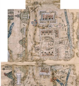
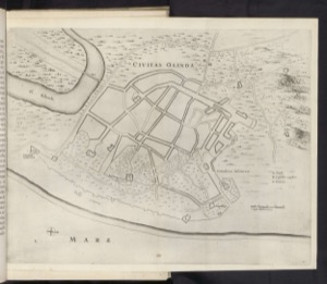
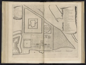
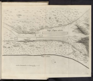
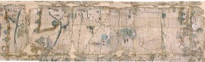
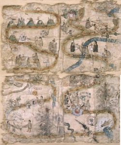
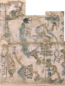
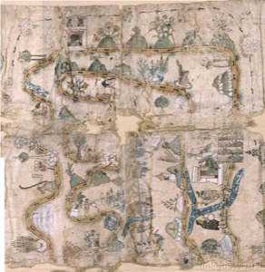
16th- to 18th-century anonymous Ibero-American cartography shapes the colonial vision of the territory. Its lines delineate geography, resources, and settlements, revealing the visual appropriation of the New World.